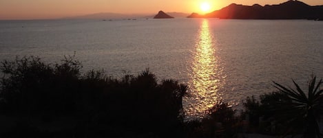
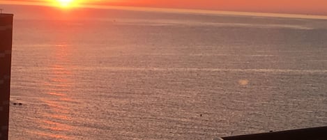
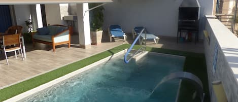
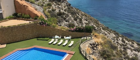
Located at the southernmost point of the Region, it acts as a border with Andalusia and conquers with its beaches, its history and its Mediterranean charm. In Águilas you will see how easy it is to get lost and disconnect. Occupying a 28 km coastal strip and under the surveillance of its beautiful castle of San Juan de las Águilas , this municipality is located at the southernmost point of the Region. This town has been populated since the Paleolithic era, and many other ancient cultures such as the Argaric, Phoenician, Roman and Muslim have also left their vestiges here, especially highlighting the Roman remains found from the 1st to the 4th century, among which its Roman Baths stand out. Águilas is located 35 km from Lorca , 105 km from Murcia and 75 km from Cartagena . Its municipal area covers an area of 251.77 km². It has 28 km of Mediterranean coastline in the extreme southwest of the Region of Murcia .
The urban centre originated in an ancient tombolo , located at the foot of the rocky outcrop on top of which is the castle of San Juan de las Águilas , with two bays on its sides, the western one and the eastern one, more sheltered as it is delimited at its other end by the peak of Aguilica, which is why the port of Águilas is located in the Municipality of Águilas in relation to the Region of Murcia
The municipality of Águilas is surrounded by a series of mountain ranges that separate it from the Guadalentín valley : the Sierra de la Carrasquilla and the Sierra de la Almenara , the latter protected as a LIC and SPA due to its great environmental value. El Talayón is the highest peak in this mountain range with 881m above sea level, located to the north of the municipality, and is also the highest point in the same. Also notable is the Lomo de Bas , a relief that separates Águilas from the Lorca municipalities of Ramonete and Garrobillo to the east.
It includes part of the Cabo Cope and Puntas de Calnegre regional park , shared with the municipality of Lorca.